Launching of Earth Observation Satellite
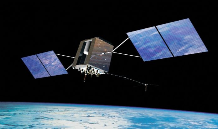
The images obtained from Cartosat-2 series satellite will be useful in variety of applications requiring high resolution images, which include cartography, infrastructure planning, urban & rural development, utility management, natural resources inventory & management and disaster management.
This information was provided by the Union Minister of State (Independent Charge) Development of North-Eastern Region (DoNER), MoS PMO, Personnel, Public Grievances & Pensions, Atomic Energy and Space, Dr Jitendra Singh in a written reply to a question in Rajya Sabha today.


